
Map Illustrators
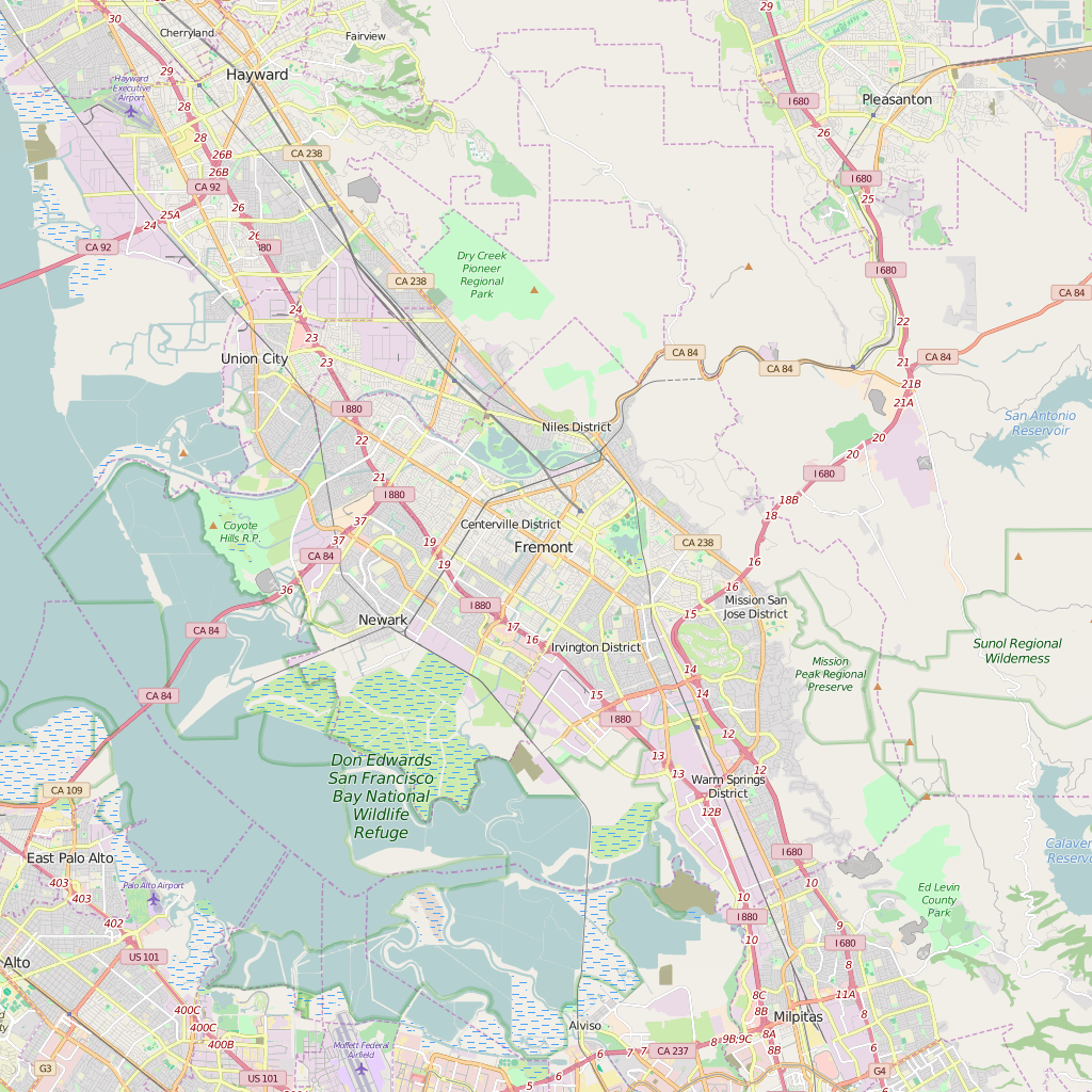
Editable City Map of Fremont, CA
Your product or service deserves a made-to-measure street level map of Fremont. You need an appealing story in order to sell your concept, product or service. Tempt your target group with a beautiful map of Fremont that visualises your solution. Designers, travel agencies, publishers, project developers, educational institutions, media companies and advertising agencies choose Map Illustrators for their made-to-measure maps.
Fremont is a city in Alameda County, California, United States. It was incorporated on January 23, 1956, from the merger of five smaller communities: Centerville, Niles, Irvington, Mission San Jose, and Warm Springs. The city is named after American explorer John Charles Frémont. Located in the southeast section of the San Francisco Bay Area in the East Bay region primarily, Fremont has a population of around 230,000. It is the fourth most populous city in the San Francisco Bay Area, and the largest suburb in the metropolis. It is the closest East Bay city to Silicon Valley, and is thus sometimes associated with it.
The area consisting of Fremont, Newark (an enclave of Fremont), and Union City (formed from the communities of Alvarado and Decoto), is now known as the Tri-City Area.
Fremont is home to the largest population of Afghan Americans in the United States.
Map of Fremont ready to publish, print or edit
Whether you need a small, highly detailed section of a larger area or a simplified map with the most up-to-date details, we will gladly make your custom made digital map.
As all of our maps are made up of high-resolution adjustable layers, you will have no problem processing your map in your desktop publishing or design software.
Map design process
When designing an appealing and up-to-date map of Fremont, we consider your application, the purpose to be served and your target group. Which is why we ask that you complete our design briefing. During this design phase, we regularly test the interim result in mutual consultation. We then incorporate your feedback in the end result: a beautiful map in the Adobe Illustrator™ format that meets your wants and needs.
Advantages of an Editable Vector Street Map of Fremont
- Complete customizable and editable in Adobe Illustrator
- The use of your own company design (look and feel)
- The use of local design styles in order to strengthen the recognisability
- You determine what is included and what is left out on the map
- High-resolution map that can be printed or published straight away
Specifications of Our Editable Printable Vector Maps
- File format: Adobe Illustrator CC, other file formats like .jpg, .pdf, .png or .eps are available on request
- Scale: 1:15.000
- Publishing date: Your map will be designed after receiving your order. Therefore you will always obtain the most accurate map possible
- Online delivery period: within 24 hours via downloadable link
Our custom made map service supplies a wide range of clients with a special map:
- Websites
- Mobile apps
- Sales material
- Marketing brochures
- Real Estate brochures
- Recreation
- Travel guides
- Print
- GIS (Geographic Information Systems)
- Advertising
- Displays / outdoor