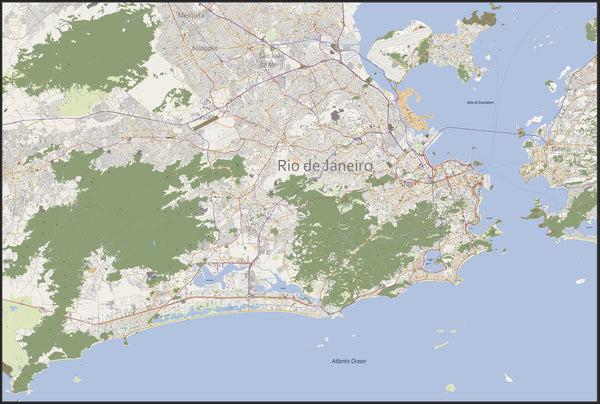
Rio de Janeiro city map
Our detailed Rio de Janeiro (Рио-де-Жанейро, 里约热内卢, 里約熱內盧) city map (scale 1:16.500, or custom scale) contains editable layers for each map category like roads, buildings, rivers, et cetera. This Rio de Janeiro city map includes not only the city centre, but the suburbs as well. This is what makes Map Illustrator different compared to other map suppliers.File format: Abobe Illustrator CC™ or EPS. Divergent formats on request.
Please contact us if you need a custom made city map.
Advantages of the vector based city map of Rio de Janeiro

- Up-to-date, complete and high-resolution map
- Customize every detail of your map
- Add your own custom graphics and map symbols
- Scale, crop or zoom to virtually any size without loss in detail or quality
Rio de Janeiro facts
Rio de Janeiro is the second largest city in Brazil, on the South Atlantic coast. Rio is famous for its breathtaking landscape, its laidback beach culture and its annual carnival. The harbour of Rio de Janeiro is comprised of a unique entry from the ocean that makes it appear as the mouth of a river. Additionally, the harbor is surrounded by spectacular geographic features including Sugar Loaf mountain at 395 m (1,296 feet), Corcovado Peak at 704 m (2,310 feet), and the hills of Tijuca at 1,021 m (3,350 feet). These features work together to collectively make the harbor one of the Seven Natural Wonders of the World). Rio de Janeiro will host many of the 2014 FIFA World Cup games, including the final, and the 2016 Summer Olympics and Paralympics, becoming the first South American city to hold either the Summer or Winter Olympics.Rio de Janeiro Districts
Centro including Lapa and Santa TeresaThe city's financial and business centre also has many historic buildings from its early days, such as the Municipal Theatre, National Library, National Museum of Fine Arts, Tiradentes Palace, Metropolitan Cathedral and Pedro Ernesto Palace.
Zona Sul (South Zone)
Including Copacabana, Leblon and Ipanema, as well as the districts along Flamengo Beach. Contains some of the more upscale neighborhoods and many of the major tourist sites, such as the Rodrigo de Freitas Lagoon, and Sugar Loaf and Corcovado Mountains.
Zona Norte (North Zone)
The Maracanã stadium, Quinta da Boa Vista Park with the National Museum the city's Zoo, the National Observatory and more.
Zona Oeste (West Zone)
A rapidly growing suburban area including primarily the districts of Jacarepaguá and Barra da Tijuca, popular for its beaches. Most of the Olympics in 2016 will be hosted there.